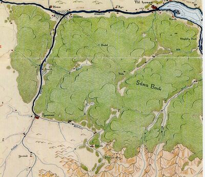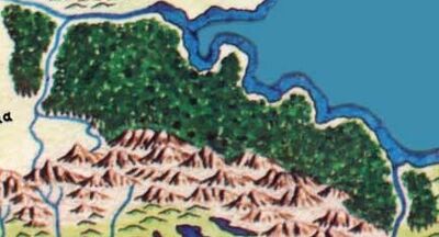
western Sára Básk Detailed map

Sára Básk Overview
The Sára Básk was a great rainforest northeast of the Tûr Betark and home to the mysterious Yatali-Gan.
It was a vast sunburned forest, stretching from the junction of the Siresha and Sirsis Rivers to the coast of the Bay of Ormal. The wood was situated on the hilly flanks of the Tûr Betark and depended solely on runoff from the mountains. Hardy species of trees well adapted to the intense sunlight of the region, such as cork, olive and fig, as well as the date palm, flourished on the lower slopes of the foothills. Equally tough scrub bushes created impas sible thickets between their trunks. Mangrove thrived in depres sions along the Siresha where flood waters were trapped and stagnated for several months, while magnolia and willow occupied the better drained riverbanks and streambanks within the Sira Bask. Coco-nut palms, marauba palms, and sukpalms grew in profusion along the coast of the Mard Isauba. Plametto marked the western fringe of the wood where the durable soils of Isra held cultivated fields along the Sirsis. Needle- and broad-leaved decidous trees filled the higher elevations of the Sara Bask, giving way to the Siranean and Tasab spruces on the crests of the foothills
